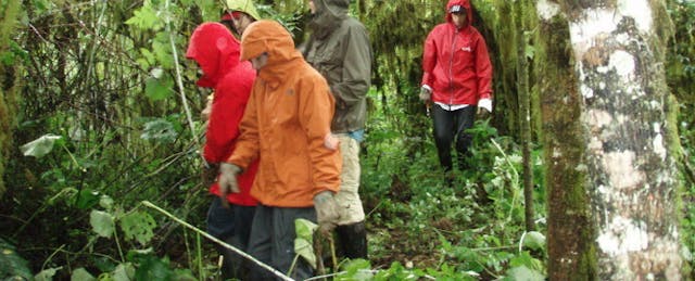
We were deep in the forest of Santa Cruz Island of the Galapagos Archipelago. My students had been busily tearing out invasive blackberry plants for the past three hours with no signs of fatigue. The rain started coming down harder. They quickly took out ponchos and rain jackets and kept on working without missing a beat. Their energy and sheer determination made me feel like I was inside a videogame where the mission was to uproot as many invasive species as possible. There was a fierce competition between the teams of students and with each uprooted plant they called out a number indicating how many they had reached.
We were five days into an eleven-day educational work trip with Ecology Project International. We spent our nights at a farm in the highlands and our days helping National Park Rangers collect data on giant tortoises, working with the juvenile tortoise repatriation program at the Charles Darwin Research Station and learning first hand about the fragile and unique ecosystems of the islands.
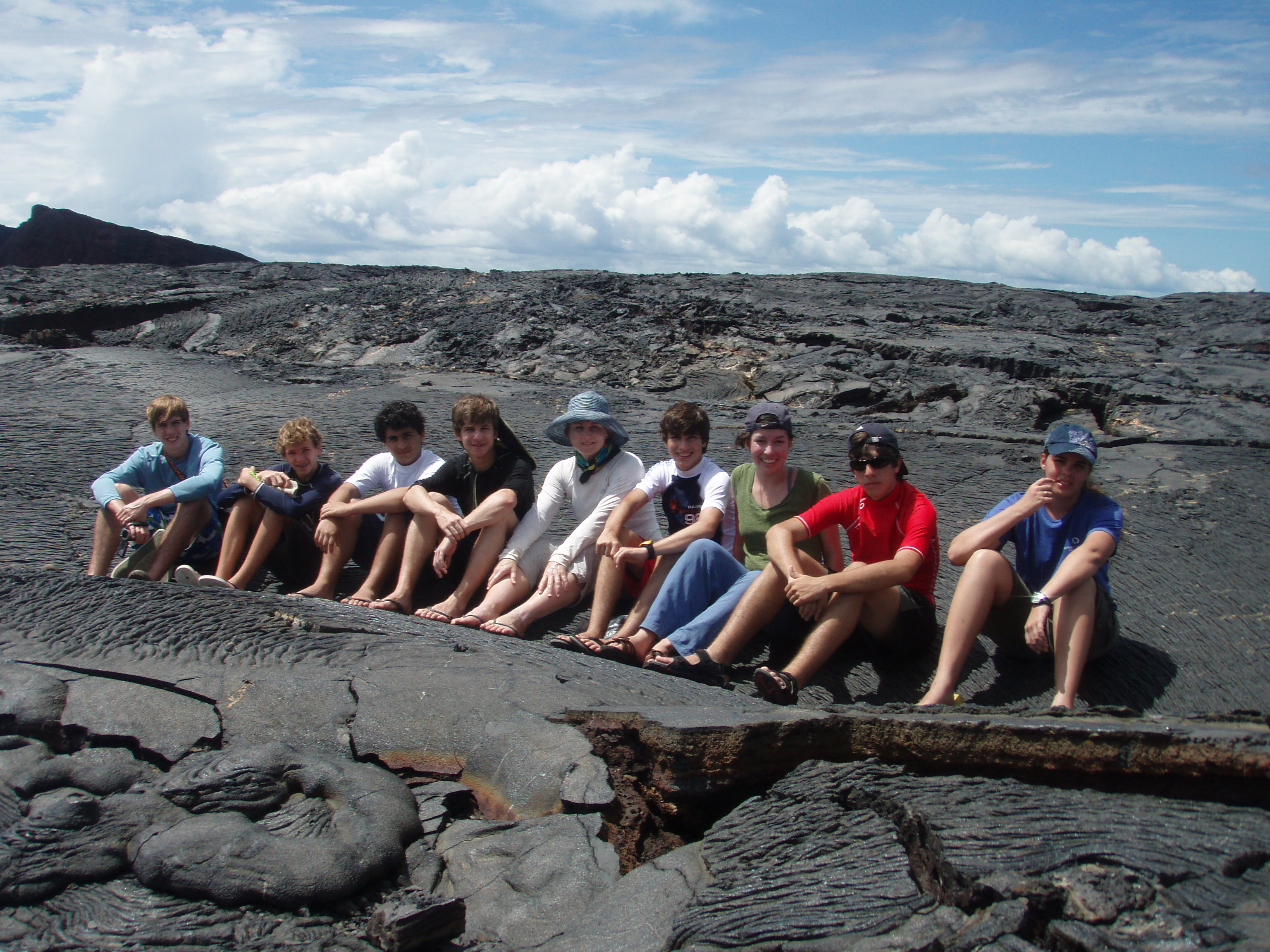
During the trip I caught myself daydreaming about how I could bring the richness of this experience back to my students in the classroom who weren’t enrolled in the field study course. How could I use my experiences to reinvigorate the ecology and evolution units of my IB Biology courses? Sure, during the trip I snapped hundreds of pictures of pioneer species plants on the youngest islands as well as moments with Darwin’s finches. But how could a few photographs bring to life what the students on the trip had experienced firsthand?
My initial thoughts were that I would build the ecology unit to be a case study of the Galapagos Islands. I envisioned finding examples in Galapagos Island ecology for each of the assessment statements (IB-speak for standards) of the unit. Ecology would be taught as a narrative with examples and applications of the content woven in through a story of the Galapagos Islands. Making this connection between the ecology topics and the islands was not a stretch. However, I wanted to take the curriculum beyond the basics of the classic Galapagos Islands examples traditionally used to teach ecology and evolution.
Trying Google Earth came to mind. I had never used Google Earth for much more than playing around with the iPhone app to locate myself on our planet. I happened to pop into our technology integration specialists office (Ben Feigert @benteachlearn) when he was devising a project with Google Earth as a tool for showing course of travel and associated events from a piece of literature that the students had read.
I sat down and proposed my half-thought out idea for using Google Earth to make review presentations for the end of the ecology unit the following week. Could students use specific ecology examples from the Galapagos Islands to highlight and explain content from the unit? I wanted students to find real life geographically based applications of the content instead of just hearing about it from me. Ben suggested a “tour” format visiting different locations on the islands and embedding specific content as pop-up windows from various pinpoints the students created. Our school is a one -to-one laptop school and I wanted the students work independently on this project to heighten the level of engagement and ensure that all students were learning the tech skills necessary to build a Google Earth Tour. Their assessment was to consist of small group “jigsaw style” presentations with each student within the small groups presenting unique content to their peers within the group.
I hastily developed the curricular infrastructure for the students while still giving them plenty of flexibility and opportunities to be creative. I wrote guidelines for the project and put together a rubric for assessing their final project. I developed general project requirements for all students to follow which included very broad guidelines such as:
- You must include 5 stops on the tour.
- The content must be directly related to content from the specific IB BIology Assessment Statements associated with your topic.
- You are working independently on your presentation. You may check in with others working on your same topic but you may not work together.
- You will need to do additional research of aspects of the Galapagos Islands to be able to meet the specific project requirements for your tour and specific project requirements.
The students were assigned to one of three sub-topics. An example of one of the specific project requirements (based on the IB Syllabus statements) is below:
- Show an example of how population size is affected by natality, immigration, mortality and emigration.
- Give 3 specific examples that set limits to population increase on the Galapagos Islands.
- Use a specific example of an invasive species (plant or animal) affecting native and endemic species.
- Include a population curve before and after introduction of invasive species.
I designed a peer-review checklist for students to use as a peer-assessment form during the small group presentations. The peer-review checklist was based on the general and specific guidelines outlined earlier.
As much as the students wanted to jump right into working Google Earth, I needed to help them plan the navigation and flow of content. I made a planning worksheet for them so that they would have a path and a plan to follow. The planning worksheet included planning space for each “stop” on their tour. The planning space included an area to list content covered on that stop and ideas for how to visually present the content within the tour. Would they be using photographs, text, maps, data or graphs? I wanted to set them up for success with the proper tools and a plan.

The benefits of the project were noticeable almost immediately. After the initial lesson on basic skills to get started with Google Earth, the students were so engaged that before their first planning class period was over I had invited the high school administrators to visit to see what we were working on in room 407. The next class period, students eagerly explained what they were working on to our Assistant Principal, a former Marine Ecologist and IB Biology teacher, while taking him on the tour they had built thus far.
After two class work days, other benefits became apparent. Google Earth tours can be made with a recorded narration of the stops along the way. This was a huge benefit for non-native English speakers who felt less intimidated by being able to practice and re-record their voices as opposed to speaking “live” in front of the class.
This was a start - next year I want to use Google Earth from the beginning of the Ecology unit to contextualize the location-based narrative of building the unit around the ecology of the Galapagos Islands.
Now that I have taken my first steps with Google Earth, I want to know what other teachers are doing. How do you front-load the project to set the students up for success? How are teachers using Google Earth in different content areas and to connect across the disciplines? What models work well to teach the skills of using Google Earth along with the content that is being taught? How do you time the planning and creating of a Google Earth project between class time and outside of school time? Let’s continue the conversation! I look forward to hearing from you.

